 Online Support for 3D Cities in TerraSolidAdmin
Online Support for 3D Cities in TerraSolid

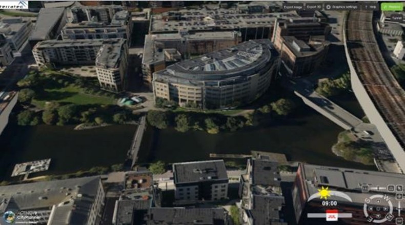
Agency9, Sweden, now supports textured 3D city models created by the powerful Lidar and image-processing packages of TerraSolid. The company has streamlined its process for data preparation to import data into its web solutions directly from the TerraSolid tools.
With Agency9 solutions customers can publish online large datasets and city models produced in TerraSolid tools as geoportals and other GIS applications. Uploaded in Agency9’s cloud service for urban planning, CityPlanner, public organisations can without installation provide their employees
- instant access to the 3D spatial data,
- access to easy-to-use tools for 3D visualisation and creation of interactive project illustrations
- share projects in teams and to stakeholders
- publish externally for communication or dialogue
TerraSolid users have new opportunities for making investment in 3D more viable. Also new business models are enabled for data producers to extend their product portfolio from traditionally only delivering data on a disk to now providing various online services.
Many cities and municipalities already have Lidar data, orthos and oblique imagery. TerraSolid suite supports these organisations to create high-quality textured 3D city models by improving image adjustment and point classification. The use of TerraSolid reduces lead times and saves substantial costs.
Agency9 CityPlanner is a web-based service for 3D visualisation of projects within urban development, infrastructure and energy. CityPlanner is created for urban planners, communicators, consultants and GIS technicians to create, share and publish project and spatial information from a normal web browser. CityPlanner is currently used by many municipalities internationally.


